
Thank you for supporting this site ❤️
Make a donation
Make a donation
Chengannur topographic map
Click on the map to display elevation.
Thank you for supporting this site ❤️
Make a donation
Make a donation
About this map
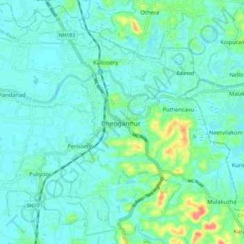
Name: Chengannur topographic map, elevation, terrain.
Location: Chengannur, Alappuzha, Kerala, 689121, India (9.27819 76.57248 9.35819 76.65248)
Average elevation: 13 m
Minimum elevation: 0 m
Maximum elevation: 68 m
Thank you for supporting this site ❤️
Make a donation
Make a donation