
Make a donation
Gauchar topographic map
Click on the map to display elevation.
Make a donation
Gauchar
Gauchar (Garhwali: Gòchàr ) is a hill town located in Karnaprayag tehsil subdistrict within Chamoli district of Uttarakhand state in India. Gauchar is situated on the left bank of river Alaknanda and is en route to the celebrated holy destination of Badrinath. Situated at an altitude of 800 metres (2,620 ft) above the sea level, Gauchar is surrounded by seven mountains. The town is well known for its historic trade fair and airstrip. It is also known for its work to curb the loss of lives in the 2013 floods of Uttarakhand. Gauchar is located on one of the largest pieces of flatland in this mountainous region of Uttarakhand.
Make a donation
About this map
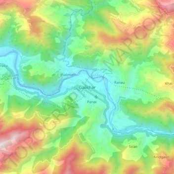
Name: Gauchar topographic map, elevation, terrain.
Location: Gauchar, Karnaprayag, Chamoli, Uttarakhand, 246429, India (30.24890 79.11708 30.32890 79.19708)
Average elevation: 1,196 m
Minimum elevation: 677 m
Maximum elevation: 2,125 m
Make a donation
Other topographic maps
Click on a map to view its topography, its elevation and its terrain.