
Civac 2a. Sección topographic map
Interactive map
Click on the map to display elevation.
About this map
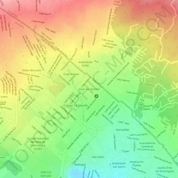
Name: Civac 2a. Sección topographic map, elevation, terrain.
Location: Civac 2a. Sección, Jiutepec, Morelos, México (18.91889 -99.16719 18.92346 -99.16232)
Average elevation: 1,449 m
Minimum elevation: 1,381 m
Maximum elevation: 1,508 m
Other topographic maps
Click on a map to view its topography, its elevation and its terrain.