
Romita topographic map
Interactive map
Click on the map to display elevation.
About this map
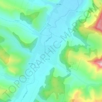
Name: Romita topographic map, elevation, terrain.
Location: Romita, Românași, Sălaj, 457286, Rumänien (47.12479 23.18869 47.16479 23.22869)
Average elevation: 283 m
Minimum elevation: 222 m
Maximum elevation: 466 m
Other topographic maps
Click on a map to view its topography, its elevation and its terrain.