
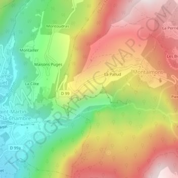
Champs Bouvier topographic map
Interactive map
Click on the map to display elevation.
About this map
Name: Champs Bouvier topographic map, elevation, terrain.
Average elevation: 967 m
Minimum elevation: 514 m
Maximum elevation: 1,455 m
Other topographic maps
Click on a map to view its topography, its elevation and its terrain.
Saint-François-Longchamp
France > Auvergne-Rhône-Alpes > Savoie > Saint-François-Longchamp
Saint-François-Longchamp, Saint-Jean-de-Maurienne, Savoie, Auvergne-Rhône-Alpes, France métropolitaine, 73130, France
Average elevation: 1,832 m