
Polvaredas topographic map
Interactive map
Click on the map to display elevation.
About this map
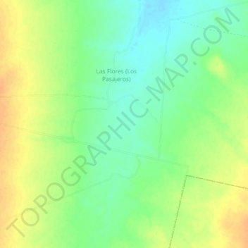
Name: Polvaredas topographic map, elevation, terrain.
Location: Polvaredas, Benjamín Hill, Sonora, Mexique (30.06800 -111.23900 30.10800 -111.19900)
Average elevation: 714 m
Minimum elevation: 697 m
Maximum elevation: 730 m