
Blora topographic map
Interactive map
Click on the map to display elevation.
About this map
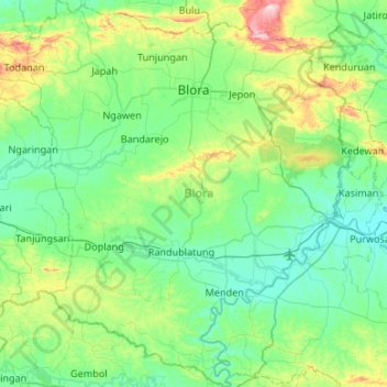
Name: Blora topographic map, elevation, terrain.
Location: Blora, Central Java, 58211 - 58219, Indonesia (-7.37496 111.10654 -6.84615 111.62988)
Average elevation: 107 m
Minimum elevation: 19 m
Maximum elevation: 471 m