
Candela topographic map
Interactive map
Click on the map to display elevation.
About this map
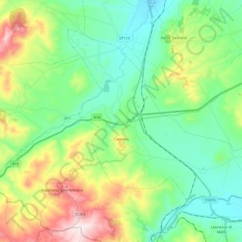
Name: Candela topographic map, elevation, terrain.
Location: Candela, Foggia, Puglia, 71024, Italia (41.08778 15.46642 41.21202 15.68266)
Average elevation: 352 m
Minimum elevation: 173 m
Maximum elevation: 771 m