
Paya Indah topographic map
Interactive map
Click on the map to display elevation.
About this map
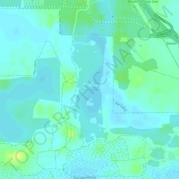
Name: Paya Indah topographic map, elevation, terrain.
Location: Paya Indah, Kuala Langat, Selangor, Malaysia (2.86214 101.61460 2.87832 101.62017)
Average elevation: 8 m
Minimum elevation: 2 m
Maximum elevation: 20 m
Other topographic maps
Click on a map to view its topography, its elevation and its terrain.
Kampung Baru Batu Caves
Malaysia > Selangor > Selayang Municipal Council > Batu Caves > Kampung Baru Batu Caves
Average elevation: 68 m