
Terheijden topographic map
Interactive map
Click on the map to display elevation.
About this map
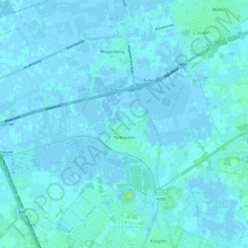
Name: Terheijden topographic map, elevation, terrain.
Location: Terheijden, Drimmelen, North Brabant, Netherlands (51.62886 4.68917 51.66390 4.79663)
Average elevation: 1 m
Minimum elevation: -3 m
Maximum elevation: 11 m