
Fort Smith topographic map
Interactive map
Click on the map to display elevation.
About this map
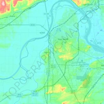
Name: Fort Smith topographic map, elevation, terrain.
Location: Fort Smith, Sebastian County, Arkansas, USA (35.25885 -94.43552 35.45077 -94.25282)
Average elevation: 142 m
Minimum elevation: 116 m
Maximum elevation: 300 m