
Parque Natural de las Sierras de Cazorla, Segura y Las Villas topographic map
Interactive map
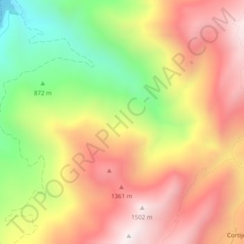
Click on the map to display elevation.
About this map
Name: Parque Natural de las Sierras de Cazorla, Segura y Las Villas topographic map, elevation, terrain.
Average elevation: 1,102 m
Minimum elevation: 614 m
Maximum elevation: 1,503 m