
Taksebt topographic map
Interactive map
Click on the map to display elevation.
About this map
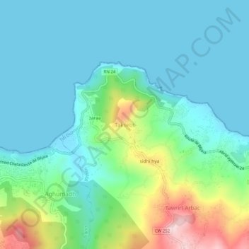
Name: Taksebt topographic map, elevation, terrain.
Location: Taksebt, Iflissen, Daïra Tigzirt, Tizi Ouzou, 15019, Algérie (36.87816 4.13805 36.91816 4.17805)
Average elevation: 71 m
Minimum elevation: 0 m
Maximum elevation: 315 m