
Malvela topographic map
Interactive map
Click on the map to display elevation.
About this map
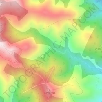
Name: Malvela topographic map, elevation, terrain.
Location: Malvela, Rubiá, Valdeorras, Ourense, Galiza, 32312, Espanha (42.47483 -6.95370 42.49483 -6.93370)
Average elevation: 882 m
Minimum elevation: 570 m
Maximum elevation: 1,175 m