
Sambas topographic map
Interactive map
Click on the map to display elevation.
About this map
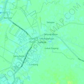
Name: Sambas topographic map, elevation, terrain.
Location: Sambas, West Kalimantan, Indonesia (1.32098 109.26521 1.40098 109.34521)
Average elevation: 5 m
Minimum elevation: 1 m
Maximum elevation: 12 m