
Udange topographic map
Interactive map
Click on the map to display elevation.
About this map
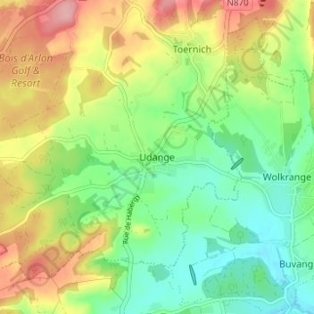
Name: Udange topographic map, elevation, terrain.
Location: Udange, Aarlen, Luxemburg, Wallonië, 6700, België (49.61750 5.75264 49.65750 5.79264)
Average elevation: 338 m
Minimum elevation: 286 m
Maximum elevation: 414 m
Other topographic maps
Click on a map to view its topography, its elevation and its terrain.