
Ingham County topographic map
Interactive map
Click on the map to display elevation.
About this map
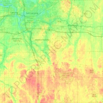
Name: Ingham County topographic map, elevation, terrain.
Location: Ingham County, Michigan, United States (42.42196 -84.60314 42.77660 -84.14060)
Average elevation: 278 m
Minimum elevation: 246 m
Maximum elevation: 319 m