
Belvue topographic map
Interactive map
Click on the map to display elevation.
About this map
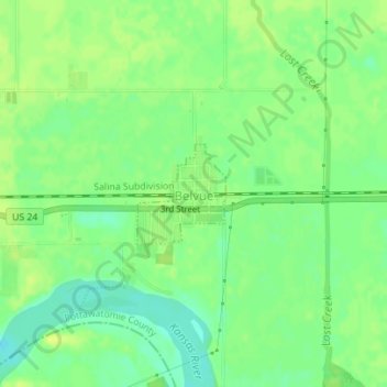
Name: Belvue topographic map, elevation, terrain.
Location: Belvue, Pottawatomie County, Kansas, United States (39.21330 -96.18322 39.22026 -96.17519)
Average elevation: 294 m
Minimum elevation: 283 m
Maximum elevation: 301 m
Other topographic maps
Click on a map to view its topography, its elevation and its terrain.
Saint George
United States > Kansas > Pottawatomie County > St. George
Saint George, St. George, Pottawatomie County, Kansas, 66535, United States
Average elevation: 322 m
Wamego
United States > Kansas > Pottawatomie County
Wamego, Pottawatomie County, Kansas, United States
Average elevation: 309 m
Emmett
United States > Kansas > Pottawatomie County
Emmett, Pottawatomie County, Kansas, United States
Average elevation: 321 m
Westmoreland
United States > Kansas > Pottawatomie County > Westmoreland
Westmoreland, Pottawatomie County, Kansas, United States
Average elevation: 371 m
Saint Marys
United States > Kansas > Pottawatomie County
Saint Marys, Pottawatomie County, Kansas, United States
Average elevation: 302 m
Saint Clere
United States > Kansas > Pottawatomie County
Saint Clere, Pottawatomie County, Kansas, United States
Average elevation: 350 m