
Livingston County topographic map
Interactive map
Click on the map to display elevation.
About this map
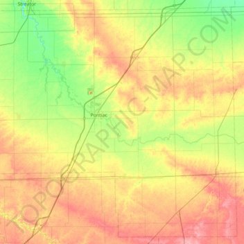
Name: Livingston County topographic map, elevation, terrain.
Location: Livingston County, Illinois, Estados Unidos (40.61655 -88.93143 41.11423 -88.23485)
Average elevation: 212 m
Minimum elevation: 175 m
Maximum elevation: 259 m