
Thank you for supporting this site ❤️
Make a donation
Make a donation
Mbalabala topographic map
Click on the map to display elevation.
Thank you for supporting this site ❤️
Make a donation
Make a donation
About this map
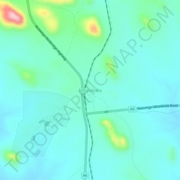
Name: Mbalabala topographic map, elevation, terrain.
Location: Mbalabala, Umzingwane, Matabeleland South Province, Zimbabwe (-20.46361 29.02291 -20.42361 29.06291)
Average elevation: 1,100 m
Minimum elevation: 1,064 m
Maximum elevation: 1,273 m
Thank you for supporting this site ❤️
Make a donation
Make a donation
Other topographic maps
Click on a map to view its topography, its elevation and its terrain.