
Molesworth Station topographic map
Interactive map
Click on the map to display elevation.
About this map
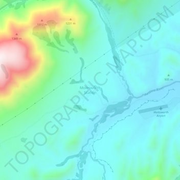
Name: Molesworth Station topographic map, elevation, terrain.
Location: Molesworth Station, Marlborough, New Zealand (-42.10481 173.23966 -42.06481 173.27966)
Average elevation: 976 m
Minimum elevation: 842 m
Maximum elevation: 1,487 m