
Coleville topographic map
Interactive map
Click on the map to display elevation.
About this map
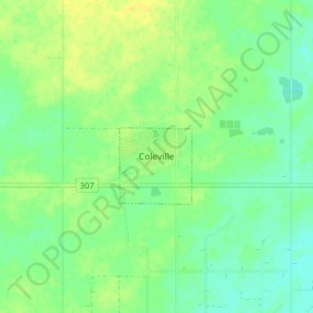
Name: Coleville topographic map, elevation, terrain.
Location: Coleville, Oakdale No. 320, Saskatchewan, Canada (51.69064 -109.26521 51.73064 -109.22521)
Average elevation: 708 m
Minimum elevation: 698 m
Maximum elevation: 719 m