
Verdú topographic map
Interactive map
Click on the map to display elevation.
About this map
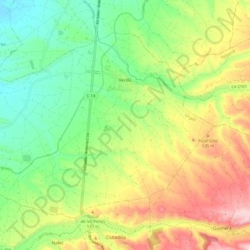
Name: Verdú topographic map, elevation, terrain.
Location: Verdú, Urgell, Lérida, Catalunha, Espanha (41.56766 1.07724 41.62488 1.18002)
Average elevation: 454 m
Minimum elevation: 331 m
Maximum elevation: 633 m