
Hay Island topographic map
Interactive map
Click on the map to display elevation.
About this map
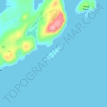
Name: Hay Island topographic map, elevation, terrain.
Location: Hay Island, Newfoundland, Newfoundland and Labrador, Canada (47.35843 -54.71624 47.36189 -54.71084)
Average elevation: 16 m
Minimum elevation: -1 m
Maximum elevation: 143 m
Other topographic maps
Click on a map to view its topography, its elevation and its terrain.