
Manacor topographic map
Interactive map
Click on the map to display elevation.
About this map
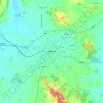
Name: Manacor topographic map, elevation, terrain.
Location: Manacor, Llevant, Ilhas Baleares, 07500, Espanha (39.52965 3.17065 39.60965 3.25065)
Average elevation: 100 m
Minimum elevation: 45 m
Maximum elevation: 310 m