
Stenungsunds kommun topographic map
Interactive map
Click on the map to display elevation.
About this map
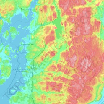
Name: Stenungsunds kommun topographic map, elevation, terrain.
Location: Stenungsunds kommun, Västra Götaland County, Sweden (57.95324 11.73701 58.16026 12.04731)
Average elevation: 69 m
Minimum elevation: -2 m
Maximum elevation: 175 m