
Oostrozebeke topographic map
Interactive map
Click on the map to display elevation.
About this map
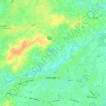
Name: Oostrozebeke topographic map, elevation, terrain.
Location: Oostrozebeke, Tielt, West-Vlaanderen, Vlaanderen, 8780, België (50.90429 3.28611 50.96439 3.37625)
Average elevation: 17 m
Minimum elevation: 5 m
Maximum elevation: 36 m