
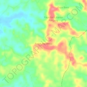
Pucok Reudeup topographic map
Interactive map
Click on the map to display elevation.
About this map
Name: Pucok Reudeup topographic map, elevation, terrain.
Location: Pucok Reudeup, Kaway XVI, Aceh Barat, Aceh, Indonesia (4.22669 96.23546 4.26669 96.27546)
Average elevation: 48 m
Minimum elevation: 14 m
Maximum elevation: 93 m