
Tegalwaton topographic map
Interactive map
Click on the map to display elevation.
About this map
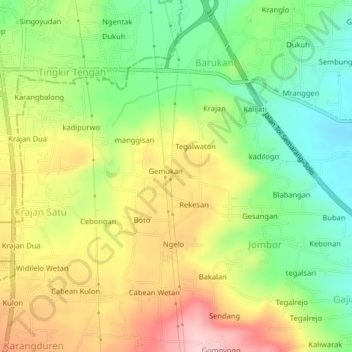
Name: Tegalwaton topographic map, elevation, terrain.
Location: Tegalwaton, Semarang, Central Java, 50745, Indonesia (-7.39401 110.51377 -7.35401 110.55377)
Average elevation: 686 m
Minimum elevation: 595 m
Maximum elevation: 794 m