
Buckhorn Lake topographic map
Interactive map
Click on the map to display elevation.
About this map
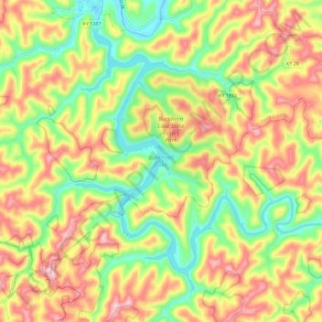
Name: Buckhorn Lake topographic map, elevation, terrain.
Location: Buckhorn Lake, Perry County, Kentucky, United States (37.26591 -83.47818 37.33998 -83.36507)
Average elevation: 352 m
Minimum elevation: 221 m
Maximum elevation: 494 m
Other topographic maps
Click on a map to view its topography, its elevation and its terrain.