
Lyndon topographic map
Interactive map
Click on the map to display elevation.
About this map
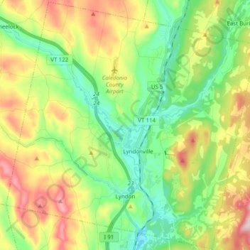
Name: Lyndon topographic map, elevation, terrain.
Location: Lyndon, Caledonia County, Vermont, United States (44.49135 -72.08354 44.59842 -71.93155)
Average elevation: 317 m
Minimum elevation: 183 m
Maximum elevation: 542 m
The highest point in Lyndon is Diamond Hill in the southwest, with an elevation of slightly greater than 1,640 feet (500 m).[13]