
North Ubian Island topographic map
Interactive map
Click on the map to display elevation.
About this map
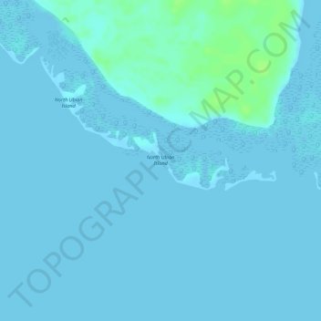
Name: North Ubian Island topographic map, elevation, terrain.
Location: North Ubian Island, Pangutaran, Sulu, Bangsamoro, Philippines (6.13336 120.43536 6.13828 120.44354)
Average elevation: 2 m
Minimum elevation: 0 m
Maximum elevation: 12 m
Other topographic maps
Click on a map to view its topography, its elevation and its terrain.
Kulassian Island
Philippines > Sulu > Pangutaran
Kulassian Island, Pangutaran, Sulu, Bangsamoro, Philippines
Average elevation: 0 m