
Loreto Mission topographic map
Interactive map
Click on the map to display elevation.
About this map
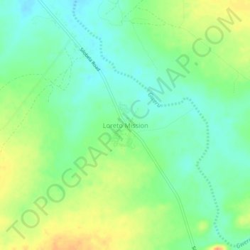
Name: Loreto Mission topographic map, elevation, terrain.
Location: Loreto Mission, Kwekwe, Midlands Province, Zimbabwe (-19.01707 29.28520 -18.97707 29.32520)
Average elevation: 1,196 m
Minimum elevation: 1,180 m
Maximum elevation: 1,219 m
Other topographic maps
Click on a map to view its topography, its elevation and its terrain.
Kwekwe
Zimbabwe > Midlands Province > Kwekwe
Kwekwe, Midlands Province, Zimbabwe
Average elevation: 1,200 m