
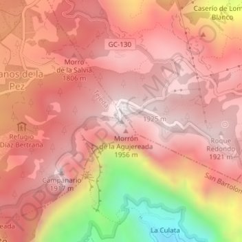
Pico de las Nieves topographic map
Interactive map
Click on the map to display elevation.
About this map
Name: Pico de las Nieves topographic map, elevation, terrain.
Average elevation: 1,679 m
Minimum elevation: 1,038 m
Maximum elevation: 1,948 m
Gran Canaria has the highest elevation of the province of Las Palmas and the third highest in the Canary Islands. Of the other Canary Islands, only Tenerife and La Palma have higher peaks.
Other topographic maps
Click on a map to view its topography, its elevation and its terrain.
Cruz de Tejeda
Cruz de Tejeda, Tejeda, Las Palmas, Canary Islands, 35360, Spain
Average elevation: 1,366 m
Roque Nublo
Roque Nublo, Tejeda, Las Palmas, Canary Islands, 35360, Spain
Average elevation: 1,398 m