
Sadeung-myeon topographic map
Interactive map
Click on the map to display elevation.
About this map
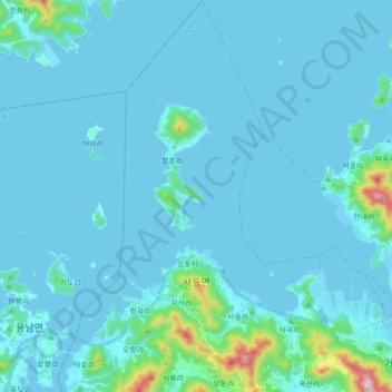
Name: Sadeung-myeon topographic map, elevation, terrain.
Location: Sadeung-myeon, Geoje-si, South Gyeongsang, South Korea (34.86952 128.46923 35.01276 128.58719)
Average elevation: 38 m
Minimum elevation: -7 m
Maximum elevation: 547 m