
Doeveren topographic map
Interactive map
Click on the map to display elevation.
About this map
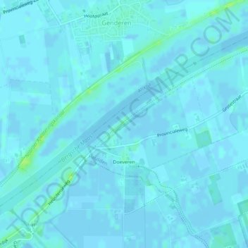
Name: Doeveren topographic map, elevation, terrain.
Location: Doeveren, Heusden, North Brabant, Netherlands (51.71862 5.08176 51.73122 5.10553)
Average elevation: 1 m
Minimum elevation: -7 m
Maximum elevation: 11 m
Other topographic maps
Click on a map to view its topography, its elevation and its terrain.
Drunen
Netherlands > North Brabant > Heusden
Drunen, Heusden, North Brabant, Netherlands
Average elevation: 6 m