
Lungsoda-an topographic map
Interactive map
Click on the map to display elevation.
About this map
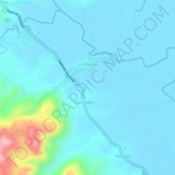
Name: Lungsoda-an topographic map, elevation, terrain.
Location: Lungsoda-an, Candijay, Bohol, Central Visayas, Philippines (9.83040 124.45911 9.85002 124.48674)
Average elevation: 24 m
Minimum elevation: -2 m
Maximum elevation: 175 m
Other topographic maps
Click on a map to view its topography, its elevation and its terrain.
Anoling
Philippines > Bohol > Candijay
Anoling, Candijay, Bohol, Central Visayas, Philippines
Average elevation: 79 m