
Bourrous topographic map
Interactive map
Click on the map to display elevation.
About this map
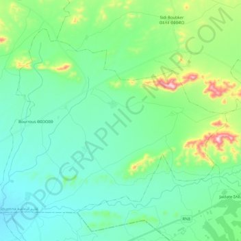
Name: Bourrous topographic map, elevation, terrain.
Average elevation: 527 m
Minimum elevation: 434 m
Maximum elevation: 869 m
Other topographic maps
Click on a map to view its topography, its elevation and its terrain.
Ras Ain Rhamna
Maroc > cercle de Sidi Bou Othmane
Ras Ain Rhamna, caïdat de Ras El Aïn, cercle de Sidi Bou Othmane, Province de Rhamna, Marrakech-Safi, 43202, Maroc
Average elevation: 567 m