
Landerd topographic map
Interactive map
Click on the map to display elevation.
About this map
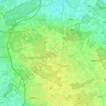
Name: Landerd topographic map, elevation, terrain.
Location: Landerd, North Brabant, Netherlands (51.65006 5.57627 51.76805 5.74255)
Average elevation: 16 m
Minimum elevation: 6 m
Maximum elevation: 29 m
Dutch topographic map of the municipality of Landerd, June 2015