
Kanaal Roeselare-Leie topographic map
Interactive map
Click on the map to display elevation.
About this map
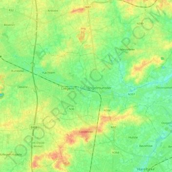
Name: Kanaal Roeselare-Leie topographic map, elevation, terrain.
Average elevation: 21 m
Minimum elevation: 5 m
Maximum elevation: 42 m
Other topographic maps
Click on a map to view its topography, its elevation and its terrain.
Izegem
België > Vlaanderen > Izegem
Izegem, Roeselare, West-Vlaanderen, Vlaanderen, 8870, België
Average elevation: 20 m