
Le Soult topographic map
Interactive map
Click on the map to display elevation.
About this map
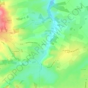
Name: Le Soult topographic map, elevation, terrain.
Average elevation: 279 m
Minimum elevation: 235 m
Maximum elevation: 354 m
Other topographic maps
Click on a map to view its topography, its elevation and its terrain.
La Brande
France > Auvergne-Rhône-Alpes > Allier > Chazemais
La Brande, Chazemais, Montluçon, Allier, Auvergne-Rhône-Alpes, France métropolitaine, 03370, France
Average elevation: 257 m