
Ullà topographic map
Interactive map
Click on the map to display elevation.
About this map
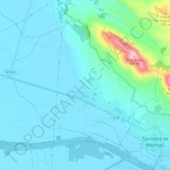
Name: Ullà topographic map, elevation, terrain.
Location: Ullà, Baix Empordà, Gerunda, Catalunha, 17140, Espanha (42.03935 3.08216 42.06515 3.12773)
Average elevation: 43 m
Minimum elevation: 3 m
Maximum elevation: 300 m