
Recesende topographic map
Interactive map
Click on the map to display elevation.
About this map
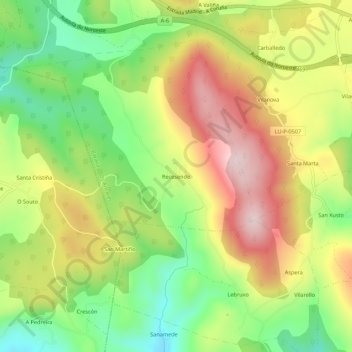
Name: Recesende topographic map, elevation, terrain.
Location: Recesende, Baralla, Ancares, Lugo, Galicia, 27680, España (42.87382 -7.33498 42.91382 -7.29498)
Average elevation: 638 m
Minimum elevation: 470 m
Maximum elevation: 829 m
Other topographic maps
Click on a map to view its topography, its elevation and its terrain.