
Mutambe topographic map
Interactive map
Click on the map to display elevation.
About this map
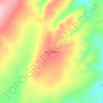
Name: Mutambe topographic map, elevation, terrain.
Location: Mutambe, Tanganyika, DR Congo (-7.99511 29.83544 -7.95511 29.87544)
Average elevation: 1,643 m
Minimum elevation: 1,533 m
Maximum elevation: 1,743 m