
Stuvenborn topographic map
Interactive map
Click on the map to display elevation.
About this map
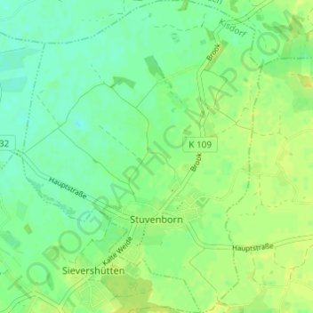
Name: Stuvenborn topographic map, elevation, terrain.
Location: Stuvenborn, Kisdorf, Segeberg, Schleswig-Holstein, Deutschland (53.84072 10.09903 53.87660 10.14852)
Average elevation: 27 m
Minimum elevation: 19 m
Maximum elevation: 34 m