
Area F (Grindrod/Ashton Creek/Mabel Lake) topographic map
Interactive map
Click on the map to display elevation.
About this map
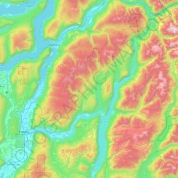
Name: Area F (Grindrod/Ashton Creek/Mabel Lake) topographic map, elevation, terrain.
Average elevation: 1,081 m
Minimum elevation: 341 m
Maximum elevation: 2,664 m