
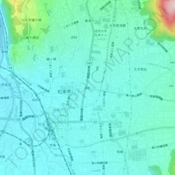
葭町 topographic map
Interactive map
Click on the map to display elevation.
About this map
Name: 葭町 topographic map, elevation, terrain.
Location: 葭町, Matsumoto, Nagano Prefecture, 390-0874, Japan (36.21896 137.95533 36.25896 137.99533)
Average elevation: 616 m
Minimum elevation: 565 m
Maximum elevation: 897 m