
Sragen topographic map
Interactive map
Click on the map to display elevation.
About this map
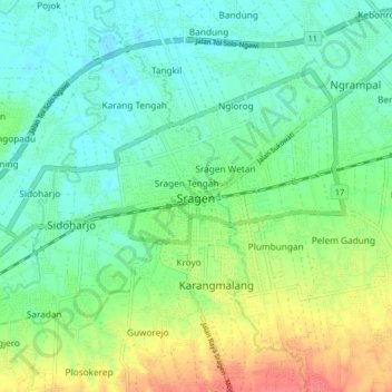
Name: Sragen topographic map, elevation, terrain.
Location: Sragen, Central Java, 57214, Indonesia (-7.46740 110.98368 -7.38740 111.06368)
Average elevation: 89 m
Minimum elevation: 69 m
Maximum elevation: 130 m