
Lujua topographic map
Interactive map
Click on the map to display elevation.
About this map
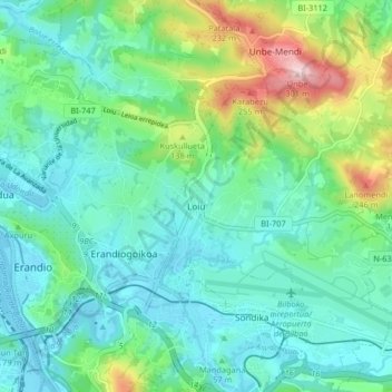
Name: Lujua topographic map, elevation, terrain.
Location: Lujua, Andraka, Vizcaya, País Vasco, 48620, España (43.28663 -2.94651 43.34614 -2.88737)
Average elevation: 70 m
Minimum elevation: 0 m
Maximum elevation: 293 m
Other topographic maps
Click on a map to view its topography, its elevation and its terrain.