
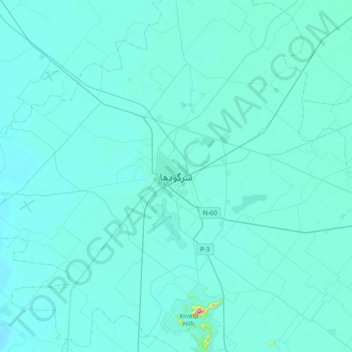
Sargodha topographic map
Interactive map
Click on the map to display elevation.
About this map
Name: Sargodha topographic map, elevation, terrain.
Location: Sargodha, Sargodha District, Punjab, 1122, Pakistan (31.92980 72.51826 32.24980 72.83826)
Average elevation: 188 m
Minimum elevation: 172 m
Maximum elevation: 494 m